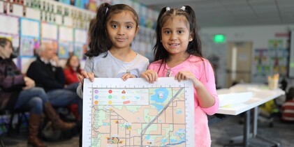
Boulder's DIGITAL Child Friendly City Map
To open the digital map, click on the square frame icon on the top right of the map below.
Looking for accessible trails? See this guide created by our colleagues at the City of Boulder's Department of Open Space and Mountain Parks.
Disclaimer: Please check website links for hours of operations, seasonal closures, and construction updates at each map location.
|
For bus routes and schedules, download the Transit app on Google Play (Android) or the Apple Store (iOS).
|
We have fun walking routes, activities, puzzles for families and individuals to enjoy! Please scroll down below.
Safe Streets BoulderSafe and Fun Routes Around Town |
Child ActivitiesActivities, Puzzles, and More |
Sponsor the MapPartnerships for the Child-Friendly City Map |
Share photos of you using the map or suggesting new locations with #gubmap on Instagram @growing_up_boulder or Facebook @GrowingUpBoulder


